

 Distance calculator: Multiple Cities |
 Distance calculator: San Antonio |
 Video: Arkansas River Trail (select to go to YouTube) |
 Video: 2024 Totality Eclipse in San Antonio (select to go to YouTube) |
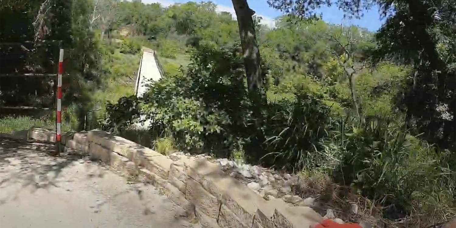 Video: Medina River (select to go to YouTube) |
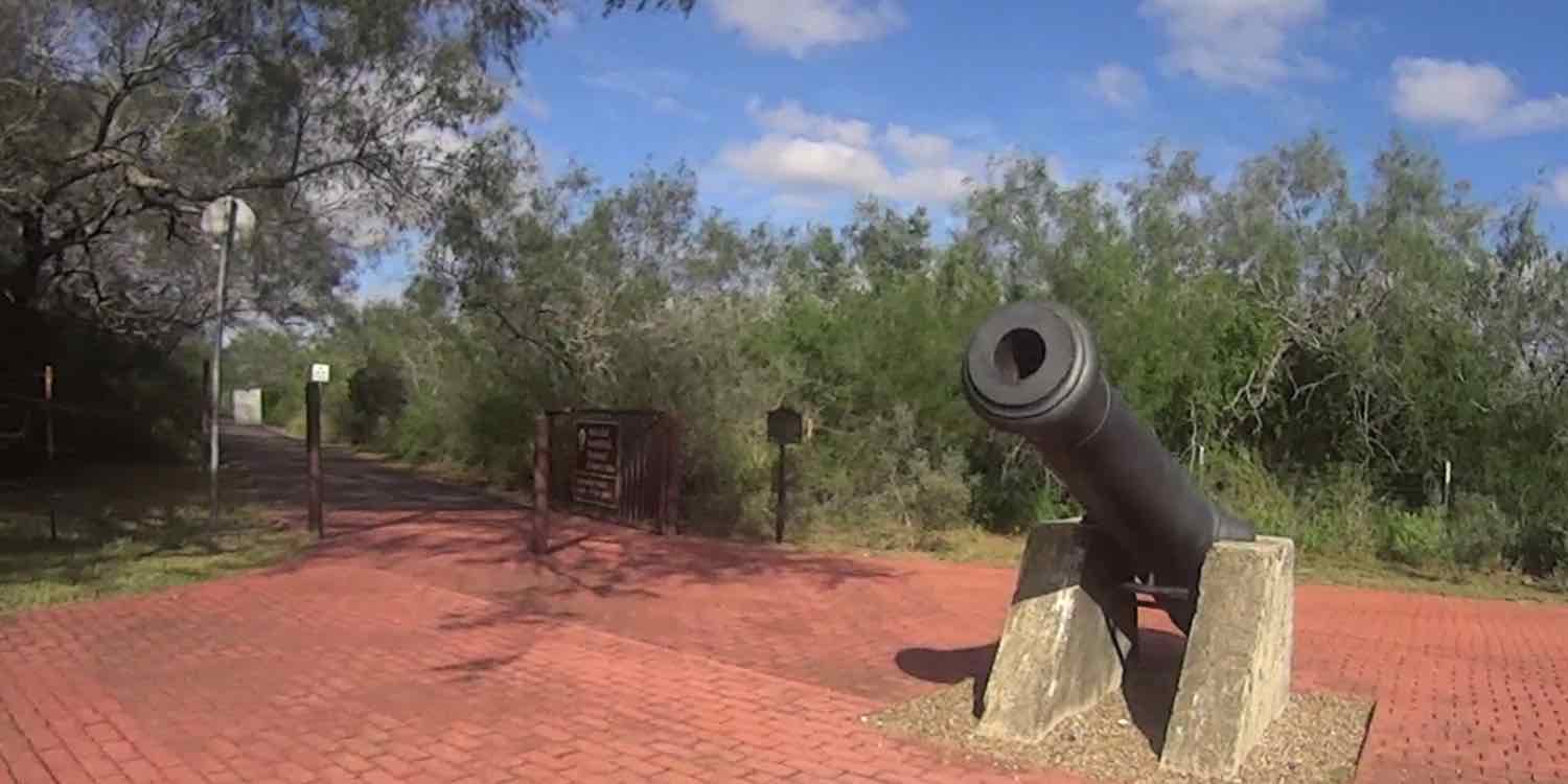 Video Classic: Brownsville Historic Battlefield Trail (select to go to YouTube) |
 Video Classic: San Pedro and Apache Greenway, San Antonio (select to go to YouTube) |
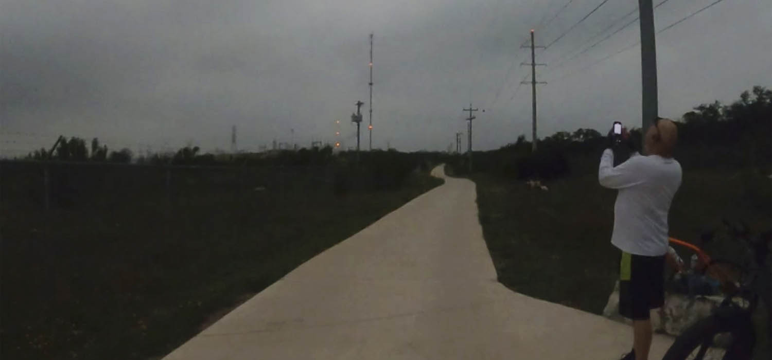
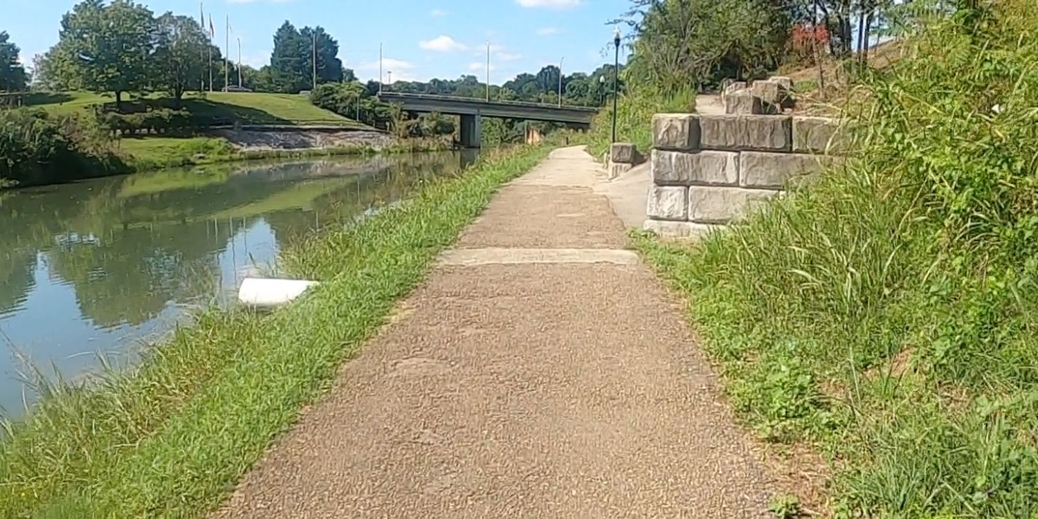 Video: Tennessee - Maryville to Alcoa (select to go to YouTube) |
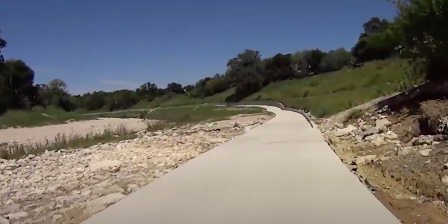
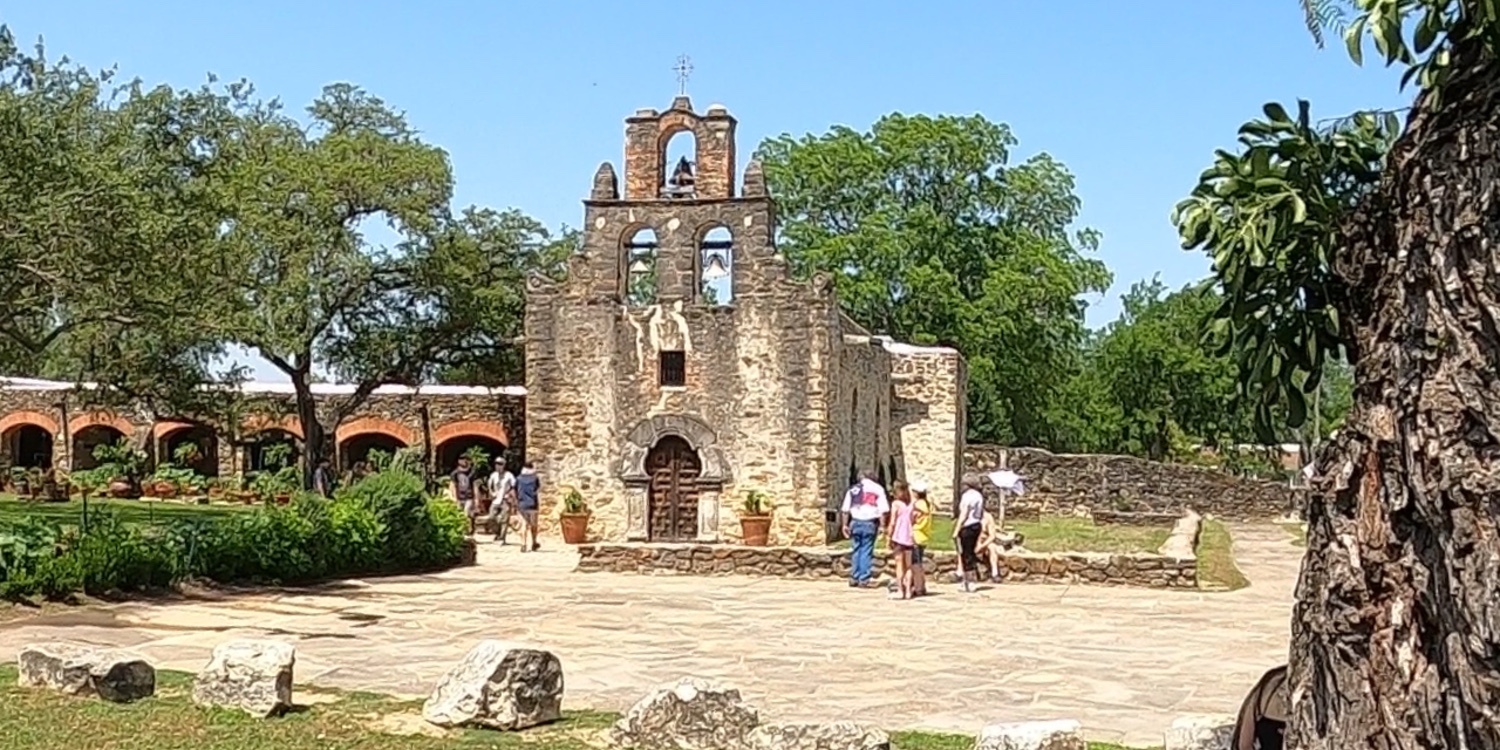 Video: Mission Reach with Frank: a Solid Rock Riders Presentation (select to go to YouTube) |
 Video: Capturing the Tour de France moments in Denmark (select to go to YouTube) |
 Video: Frankfurt Bike Tour (select to go to YouTube) |

